Layers1/1
Spot · Sites
- Flight sitesFlight sites opacity100%

Kandel
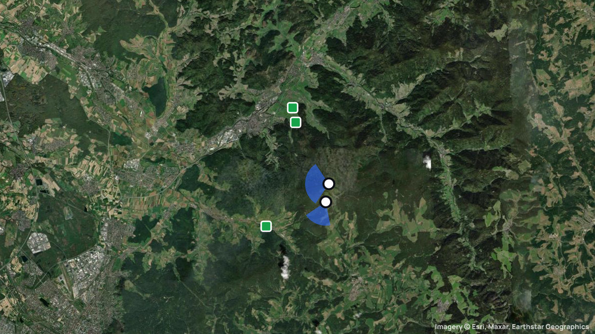
Startplatz Kandel (Kandel-West und Rampe) · Waldkirch, Baden-Württemberg, Germany · 479 flights a year · 40 in 30 days


About Kandel
One of the southern Black Forest's most popular sites: road or bus to launches, south to north-west winds, 840 m above Waldkirch.
- Road and bus to the 1,200 m launch
- 840 m height difference to landing
- Launches south to north-west
- Guests: B licence, briefing, day membership
The Kandel (1,241 m) is the highest point of the central Black Forest and Waldkirch's home mountain, run by the DGFC club; paragliders and hang gliders share it. From the main West launch (1,200 m) it's 840 m to the Heimeck landing, and the south launch leads into the Glottertal.
Guide
By car via the Kandelstraße (L 186) from Waldkirch or the Glottertal, by bus on line 7205 to the Kandel Rasthaus stop. The club runs two buses from the Heimeck landing on weekends from March to October.
Kandel West (1,200 m, SW–NW) is the main launch beside the hang glider ramp. The Gummenhütte south launch (1,150 m, S–SW) has an upper area for everyone and a lower one for paragliders only. Landings: Heimeck (shared with hang gliders), a paraglider field at the campsite, and one in the Glottertal.
At the West launch wind may reach 25 km/h from 230°–310°, above that only 250°–260°; the south launch takes less and turns too turbulent above 20 km/h even for experts. In a regional south, east or north wind the Kandel sits in the lee, reaching the landing in a north wind.
Guests need a B licence, liability insurance, a briefing and a day membership (5 euros), with an entry in the online start list. From 15 February to 30 June you may not fly through the peregrine falcon zone on the Kandelfelsen, only above 1,100 m ASL; landing on the open ridge is banned.
Zufahrt über die Kandelstraße (L 186) möglich. Parkmöglichkeiten im Bereich Kandel/Rasthaus. Zusätzlich Anfahrt mit Linienbus; Vereinsbus/Shuttle je nach Betrieb.
Eines der beliebtesten Fluggelände im Südschwarzwald. HG-Rampe, GS-SP auf Wiese neben der Rampe, Einweisung erforderlich! "Geländeordnung Kandel", insbesondere die Regelungen zum Schutz des Wanderfalken, beachten! Tandemflüge nur für Vereinsmitglieder. Landeplatzsituation in Glottertal kann sich kurzfristig ändern Mindestabstand zur Straße von 50 Metern einhalten Nur markierten Landeplatz nutzen. Aktuelle Landeplätze auf der Website des Clubs. Auffahrt zum Kandel mit Linienbus möglich.
Einweisung erforderlich. Infos: https://www.dgfc-suedschwarzwald.de/gaesteregelung-d/ Kraftfahrzeuge sind auf den dafür vorgesehenen Parkflächen (z. B. Parkplatz südlich des Kandelhofes) abzustellen. Die Zufahrt zum Startgelände ist unzulässig. Flugbetrieb darf ausschließlich bei Wind aus südwestlicher Richtung durchgeführt werden. Vor dem Start muss sichergestellt sein, dass sich keine anderen Luftfahrzeuge in Startrichtung und im näheren Luftraum befinden. Gleitsegelpiloten benötigen mindestens den unbeschränkten, Hängegleiterpiloten den beschränkten Luftfahrerschein. Alle Piloten sind in die Besonderheiten des Geländes, insbesondere in die lokalen Windverhältnisse, und in die Auflagen der Genehmigung einzuweisen. Vom unteren Startplatz (Flst. 75) darf nur mit Gleitsegeln gestartet werden.
When pilots fly here
Most flights start in September and October. Pilots usually launch between 14:00 and 17:00. A typical flight lasts 40 minutes. The best flight climbed 1,020 m above launch. Thermals here climb 1.0 m/s on average. Most thermals drifted in W, NW wind.
From 479 flights the Open Glider Network saw start here in the last twelve months.
Pilot reviews
No reviews yet. Flown here? Tell other pilots how it went.
Spots nearby
- SteingrubenbergSt. Peter, Baden-Württemberg, Germany · 4.8 km away
- HörnlebergGutach-Bleibach, Baden-Württemberg, Germany · 7.2 km away
- LindenbergBuchenbach, Baden-Württemberg, Germany · 7.4 km away
- NiederwindenWinden, Baden-Württemberg, Germany · 7.8 km away
- HintereckGütenbach, Baden-Württemberg, Germany · 8.3 km away
- Tafelbühl WWinden, Baden-Württemberg, Germany · 8.6 km away
- All spots around Waldkirch