Spot guide
Top paragliding spots, ranked by real flights
Which launches do pilots actually fly? We count every paraglider and hang glider the Open Glider Network sees take off and rank the spots by it. Pick a region for its top ten, or open any spot on the map for its launches, landings and today's forecast.
Top lists
Most flown anywhere
20 spots · 14,508 flights in the last twelve months
- 1On the map →
Monte Valinis Meduno
Meduno, Friaul, ItalyParagliding site near Meduno, Friaul, Italy, launching at 975 m with 701 m of height difference in SE, SSE, S, SSW, SW wind.
3,987 flights / year701 m dropLaunch SE, SSE, S, SSW, SW - 2On the map →
Bassano del Grappa
Borso del Grappa, Venetien, ItalyParagliding site near Borso del Grappa, Venetien, Italy, launching at 1,558 m with 1,398 m of height difference in SE, SSE, S, SSW, SW, W wind.
3,107 flights / year1,398 m dropLaunch SE, SSE, S, SSW, SW, W - 3On the map →
Hohe Wand
Maiersdorf, Niederösterreich, AustriaParagliding site near Maiersdorf, Niederösterreich, Austria, launching at 912 m with 506 m of height difference in E, ESE, SE, S wind.
584 flights / year506 m dropLaunch E, ESE, SE, S - 4
 On the map →
Amisbühl
Interlaken, Bern, SwitzerlandMeadow launches above Beatenberg with a landing in central Interlaken – mind the valley wind, heliports and Meiringen airspace.
561 flights / year1,007 m dropLaunch SE, SSE, SBeginner-friendly - 5
 On the map →
Tegelberg
Schwangau, Bayern, GermanyCable car to a 1,707 m launch above Neuschwanstein Castle: a busy site with a small launch and strict rules.
547 flights / year900 m dropLaunch N, NE, SW, WSW, W, WNW, NW, NNWIntermediate - 6
 On the map →
Kandel
Waldkirch, Baden-Württemberg, GermanyOne of the southern Black Forest's most popular sites: road or bus to launches, south to north-west winds, 840 m above Waldkirch.
479 flights / year840 m dropLaunch S, SSW, SW, WSW, W, WNW, NWIntermediate - 7
 On the map →
Gaisberg
Salzburg, Salzburg, AustriaSalzburg's city mountain: four launches around the summit, soaring till sunset, flown only when the control zone's TRA is active.
474 flights / year833 m dropLaunch N, NNE, NE, SW, WSW, W, WNW, NWIntermediate - 8On the map →
Antenna Costalunga
Bassano del Grappa, Venetien, ItalyParagliding site near Bassano del Grappa, Venetien, Italy, launching at 741 m with 581 m of height difference in E, ESE, SE, SSE, S wind.
448 flights / year581 m dropLaunch E, ESE, SE, SSE, S - 9On the map →
Ebenalp
Schwende, Appenzell Innerrhoden, SwitzerlandParagliding site near Schwende, Appenzell Innerrhoden, Switzerland, launching at 1,603 m with 736 m of height difference in N, NNE, NE, ENE, E, ESE, SE, SSE, S, NW, NNW wind.
431 flights / year736 m dropLaunch N, NNE, NE, ENE, E, ESE, SE, SSE, S, NW, NNW - 10
 On the map →
Unterberghorn Kössen
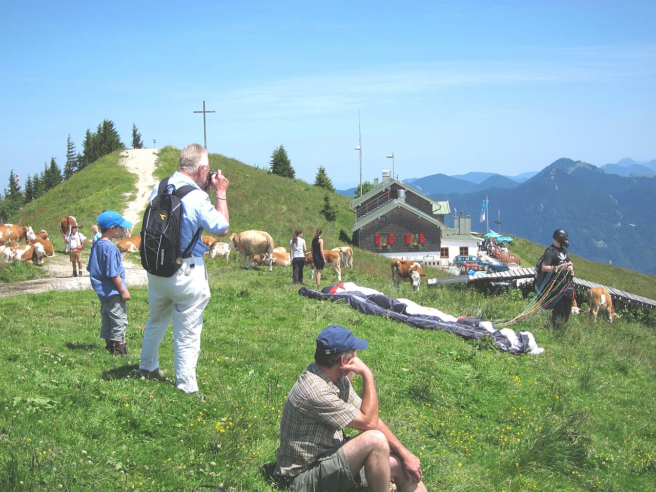
Kössen, Tirol, AustriaPioneer mountain above Kössen, Tirol: a gondola to north and west launches, a big landing field, no fees, lots of school flying.
398 flights / year1,040 m dropLaunch N, NNE, NE, SW, WSW, WBeginner-friendly - 11
 On the map →
Brauneck
Lenggries, Bayern, GermanyLenggries' cable-car mountain, with four launches for north, south and east winds and a day shaped by when the valley wind arrives.
389 flights / year855 m dropLaunch N, E, SIntermediate - 12On the map →
Vounetse
Charmey, Fribourg, SwitzerlandParagliding site near Charmey, Fribourg, Switzerland, launching at 1,600 m with 732 m of height difference in NE, SW wind.
384 flights / year732 m dropLaunch NE, SW - 13On the map →
Monte Cavallaria
Borgofranco D'Ivrea, Piemont, ItalyParagliding site near Borgofranco D'Ivrea, Piemont, Italy, launching at 1,436 m with 1,173 m of height difference in SE, S, SW wind.
366 flights / year1,173 m dropLaunch SE, S, SW - 14On the map →
Kronberg
Jakobsbad, Appenzell Innerrhoden, SwitzerlandParagliding site near Jakobsbad, Appenzell Innerrhoden, Switzerland, launching at 1,649 m with 768 m of height difference in N, NNE, NE, S, SSW, SW, W, WNW, NW, NNW wind.
366 flights / year768 m dropLaunch N, NNE, NE, S, SSW, SW, W, WNW, NW, NNW - 15On the map →
Rotenfluh
Rickenbach, Schwyz, SwitzerlandParagliding site near Rickenbach, Schwyz, Switzerland, launching at 1,551 m with 1,107 m of height difference in N, SE, SSE, S, SSW, SW, NW, NNW wind.
352 flights / year1,107 m dropLaunch N, SE, SSE, S, SSW, SW, NW, NNW - 16On the map →
Niederhorn
Interlaken, Bern, SwitzerlandParagliding site near Interlaken, Bern, Switzerland, launching at 1,956 m with 1,391 m of height difference in S wind.
344 flights / year1,391 m dropLaunch S - 17On the map →
Monte Cornizzolo
Cesana Brianza, Lombardei, ItalyParagliding site near Cesana Brianza, Lombardei, Italy, launching at 1,035 m with 806 m of height difference in SE, SSE, S, SSW, SW wind.
331 flights / year806 m dropLaunch SE, SSE, S, SSW, SW - 18On the map →
Wasserkuppe
Gersfeld, Hessen, GermanyParagliding site near Gersfeld, Hessen, Germany, launching at 914 m with 344 m of height difference in N, NNE, NE, S, SSW, W, NW wind.
328 flights / year344 m dropLaunch N, NNE, NE, S, SSW, W, NW - 19On the map →
Schriesheim
Schriesheim, Baden-Württemberg, GermanyParagliding site near Schriesheim, Baden-Württemberg, Germany, launching at 380 m with 270 m of height difference in W wind.
324 flights / year270 m dropLaunch W - 20
 On the map →
Pilatus
Alpnach, Obwalden, SwitzerlandA demanding launch above Lucerne, about 1,600 m above the landing fields, ringed by the Emmen and Alpnach control zones.
308 flights / year1,605 m dropLaunch SW, WAdvanced
How we rank
By the paraglider and hang glider flights the Open Glider Network saw take off at each spot in the last twelve months. The ranking follows where pilots actually fly and updates as they do; spots without flights follow, those with a guide first, then by height difference. Launch and landing data comes from the DHV site database.