Layers1/1
Spot · Sites
- Flight sitesFlight sites opacity100%
Montagne de Parves
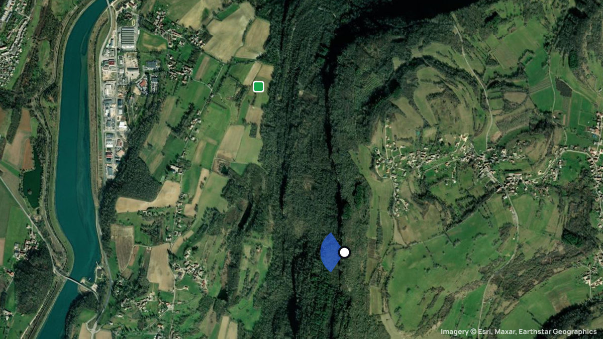
Montagne de Parves Startplatz · Parves, l Ain, France · No flights seen yet
Loading the latest model run…
About Montagne de Parves
Paragliding site near Parves, l Ain, France, launching at 527 m with 249 m of height difference in SW, WSW, W, WNW, NW wind.
Remarks and rules
The source lists no remarks or rules for this spot.
Pilot reviews
No reviews yet. Flown here? Tell other pilots how it went.
Spots nearby
- Mont du ChatYenne, Rhône-Alpes, France · 11 km away
- GlandieuSt. Benoit, Rhône-Alpes, France · 12 km away
- Innimond OstInnimond, l Ain, France · 12 km away
- SapenayCessens, Rhône-Alpes, France · 13 km away
- Innimond WestInnimond, Rhône-Alpes, France · 13 km away
- Col du SapenayChindrieux, Savoie, France · 14 km away
- All spots around Parves