
Pilatus
Pilatus Startplatz 1 · Alpnach, Obwalden, Switzerland · 57 flights a year · 57 in 30 days


About Pilatus
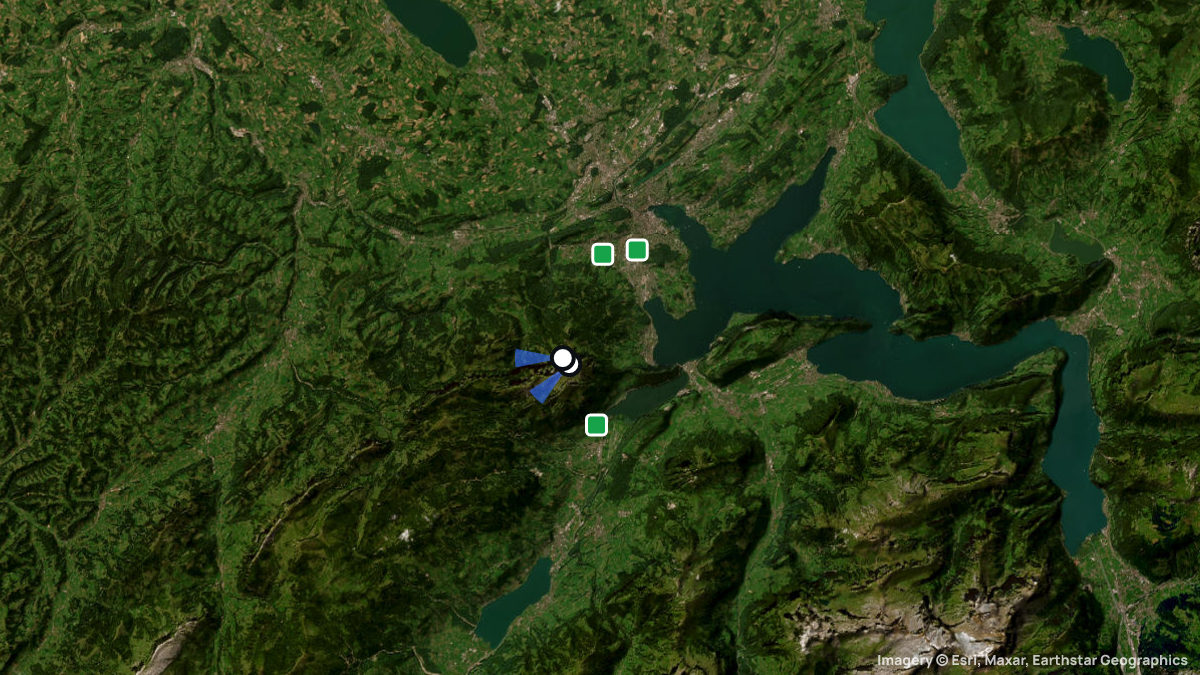
A demanding launch above Lucerne, about 1,600 m above the landing fields, ringed by the Emmen and Alpnach control zones.
For advanced pilots- Kulm launch at 2,059 m, below the top station
- About 1,600 m down to Kriens or Lucerne Allmend
- Klimsen: an easier alternative, 15 min away
- Surrounded by the Emmen, Alpnach, Buochs CTRs
Pilatus is the mountain massif above Lucerne and the Gleitschirmclub Luzern's home mountain: launch at Kulm or lower at Klimsen, and land far below in Kriens, on the Allmend or in Alpnachstad. The Kulm launch is difficult and forgives no mistakes.
You reach the mountain by cableway from Kriens via Fräkmüntegg, or by cogwheel railway from Alpnachstad; both carry paragliders only, no hang gliders.
Kulm (2,059 m, S/SW/W) sits below the terrace, where buildings create rotors — never lay out near the façade. Klimsen West (1,868 m, W/NW) is the sheltered alternative when Kulm is too strong. Kriens is easy but the wind can turn 180° within seconds.
Kulm works best in light south-to-west wind, with thermals near the radar station. Klimsen West sits in the lee during northerly conditions, with turbulence around the corner.
Pilatus is ringed by the Emmen, Alpnach, Kägiswil and Buochs airfields; their CTR and TMA areas may only be flown under the special arrangement, with radio clearance, or while inactive — check the status line or DABS first. Kriens lies just inside CTR 1 Emmen, landing approach only.
Pilatus is flown all year, though deep snow makes the Kulm launch less ideal and Klimsen is inaccessible in winter. The Kriens cableway closes twice for maintenance in 2026; check the current timetable before you go.
Facts last checked on 29 September 2026.
When pilots fly here
Most flights start in September. Pilots usually launch between 16:00 and 19:00. Thermals here climb 0.4 m/s on average. Most thermals drifted in W, SW wind.
From 57 flights the Open Glider Network saw start here in the last twelve months.
Pilot reviews
No reviews yet. Flown here? Tell other pilots how it went.
Step · Spot
Pick a launch: sites rated for the day, the most flown spots, valley wind, gusts and live stations.
Weather models
DWD ICON-D2 · 0.02° (~2 km)
Model guidance only. Terrain, launch conditions and winds aloft need a separate assessment.
Launches, landings and towing
Site
Hill site for paragliders and hanggliders · 1605 m height difference
Paragliders: 1- and 2-seaters
Seen launching (OGN): 9 flights today · 28 flights in 30 days
Access: Public transport · On foot
Spots nearby
- StanserhornStans, Nidwalden, Switzerland · 8.5 km away
- RuedlenKerns, Obwalden, Switzerland · 10 km away
- RuelenSarnen, Obwalden, Switzerland · 10 km away
- ArvialpKerns, Obwalden, Switzerland · 11 km away
- WirzweliDallenwil, Nidwalden, Switzerland · 12 km away
- LinderenalpSarnen, Obwalden, Switzerland · 13 km away
- All spots around Alpnach