La Longeagne
La Longeagne Startplatz 2 · Aspres, Hautes-Alpes, France · 20 flights a year · 20 in 30 days
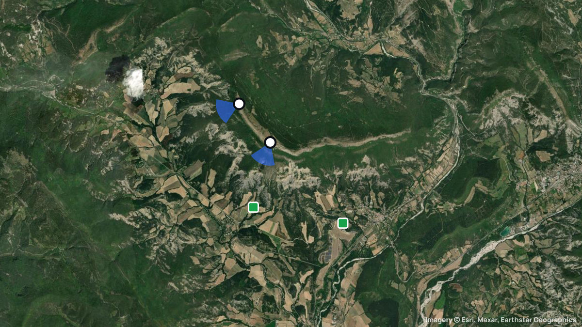
Paragliding site near Aspres, Hautes-Alpes, France, launching at 1,529 m with 712 m of height difference in SW, WSW, W wind.
When pilots fly here
Most flights start in September. Pilots usually launch between 17:00 and 20:00. Thermals here climb 1.1 m/s on average. Most thermals drifted in S, SE wind.
From 20 flights the Open Glider Network saw start here in the last twelve months.
Pilot reviews
No reviews yet. Flown here? Tell other pilots how it went.
Step · Spot
Pick a launch: sites rated for the day, the most flown spots, valley wind, gusts and live stations.
Weather models
DWD ICON-D2 · 0.02° (~2 km)
Model guidance only. Terrain, launch conditions and winds aloft need a separate assessment.
Launches, landings and towing
Site
Hill site for paragliders and hanggliders · 712 m height difference
Paragliders: 1- and 2-seaters · Hang gliders: 1- and 2-seaters
Access: Car · On foot
Spots nearby
- La Haute-BeaumeLa Haute-Beaume, Hautes-Alpes, France · 4.6 km away
- La Montagnes du PuyLesches-en-Diois, la Drome, France · 14 km away
- ClamontardLuc en Diois, la Drome, France · 21 km away
- Gap CharanceGap, Hautes-Alpes, France · 25 km away
- Col de VolentJoncheres, Rhône-Alpes, France · 25 km away
- CourtetSt. Baudille, l Isere, France · 26 km away