⛰️ Bavarian Alps · Top spots
Top 10 paragliding spots in the Bavarian Alps
From the Allgäu to the Berchtesgaden Alps, the Bavarian Alps run along the Austrian border. Many of their spots have a cable car or chairlift to launch and sit above lakes and wide valleys, from pre-alpine hills to high alpine launches.
The ranking follows the flights our live feed saw start at each spot, so it shows where pilots really fly.
10 spots · 2,778 flights in the last twelve months
- 1
 On the map →
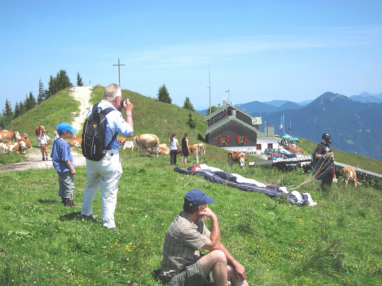
Tegelberg
Schwangau, Bayern, GermanyCable car to a 1,707 m launch above Neuschwanstein Castle: a busy site with a small launch and strict rules.
547 flights / year900 m dropLaunch N, NE, SW, WSW, W, WNW, NW, NNWIntermediate - 2
 On the map →
Brauneck
Lenggries, Bayern, GermanyLenggries' cable-car mountain, with four launches for north, south and east winds and a day shaped by when the valley wind arrives.
389 flights / year855 m dropLaunch N, E, SIntermediate - 3On the map →
Buchenberg
Buching, Bayern, GermanyParagliding site near Buching, Bayern, Germany, launching at 1,137 m with 350 m of height difference in N, NNE, NE, NW wind.
292 flights / year350 m dropLaunch N, NNE, NE, NW - 4
 On the map →
Mittag
Immenstadt, Bayern, GermanyImmenstadt's home mountain: a chairlift from town, launches for north, south and west winds, and calm soaring in the evening.
265 flights / year723 m dropLaunch N, NNE, NE, S, W, WNW, NWIntermediate - 5On the map →
Hochries
Grainbach, Bayern, GermanyParagliding site near Grainbach, Bayern, Germany, launching at 1,560 m with 873 m of height difference in WNW, NNW wind.
242 flights / year873 m dropLaunch WNW, NNW - 6On the map →
Spieser
Hindelang, Bayern, GermanyParagliding site near Hindelang, Bayern, Germany, launching at 1,641 m with 839 m of height difference in SE, SSE, S, SSW, SW, W wind.
217 flights / year839 m dropLaunch SE, SSE, S, SSW, SW, W - 7On the map →
Wallberg
Rottach-Egern, Bayern, GermanyParagliding site near Rottach-Egern, Bayern, Germany, launching at 1,720 m with 965 m of height difference in N, NNE, SW, WSW, W, WNW, NW, NNW wind.
214 flights / year965 m dropLaunch N, NNE, SW, WSW, W, WNW, NW, NNW - 8
 On the map →
Nebelhorn
Oberstdorf, Bayern, GermanyOberstdorf's high alpine site: a cable car to launches up to 2,170 m, 1,340 m of height and strong thermals over the Allgäu Alps.
212 flights / year1,340 m dropLaunch N, SE, SSE, S, SSW, SW, WSW, W, WNW, NW, NNWAdvanced - 9
 On the map →
Osterfelder
Garmisch-Partenkirchen, Bayern, GermanyHigh-alpine launches on the Osterfelderkopf, reached by cable car, with 1,308 m of height difference to the valley at Garmisch.
209 flights / year1,308 m dropLaunch N, NNE, NE, E, ESE, SE, SSE, S, NW, NNWAdvanced - 10On the map →
Kreuzeck
Garmisch-Partenkirchen, Bayern, GermanyParagliding site near Garmisch-Partenkirchen, Bayern, Germany, launching at 1,690 m with 930 m of height difference in ENE, NNW wind.
191 flights / year930 m dropLaunch ENE, NNW
How we rank
By the paraglider and hang glider flights the Open Glider Network saw take off at each spot in the last twelve months. The ranking follows where pilots actually fly and updates as they do; spots without flights follow, those with a guide first, then by height difference. Launch and landing data comes from the DHV site database.
Paragliding in the Bavarian Alps: questions
Guest pilots need a valid licence (IPPI card level 4 or the national equivalent) and third-party liability insurance. Many sites ask for a small day fee to the local club, and some require a site briefing before the first flight.