Schnepfenriedkopf
Schnepfenriedkopf Startplatz · Mittlach, Haut-Rhin, France · No flights seen yet
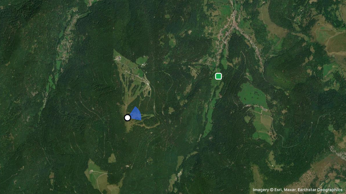
Paragliding site near Mittlach, Haut-Rhin, France, launching at 1,229 m with 633 m of height difference in NE, ENE, E wind.
Das östlich ausgerichtete Gelände eignet sich besonders für Flüge am Morgen.
Pilot reviews
No reviews yet. Flown here? Tell other pilots how it went.
Step · Spot
Pick a launch: sites rated for the day, the most flown spots, valley wind, gusts and live stations.
Weather models
DWD ICON-D2 · 0.02° (~2 km)
Model guidance only. Terrain, launch conditions and winds aloft need a separate assessment.
Launches, landings and towing
Site
Hill site for paragliders · 633 m height difference
Paragliders: 1- and 2-seaters
Access: Car · On foot
Von Sondernach auf der D27 Richting Schnepfenried und weiter zum Parkplatz Platzerwasel. Von dort in wenigen Minuten aufsteigen zum Startplatz.
École Ascension’Aile 13, rue d’Alsace F-88540 BUSSANG FRANCE Portable : +33(0)6 23 15 05 53 Tél./Fax : +33(0)3 29 61 60 89 ecole@ascension-aile.fr http://www.ascension-aile.fr Centre Ecole du Markstein Z.A. F-68830 ODEREN Tel: +33(0)389821716 Fax: +33(0)389382245 c.e.m@orange.fr http://www.centreecolemarkstein.com Flugschule Pappus - Hari Huber http://www.gleitschirmschule-pappus.de hari@gleitschirmschule-pappus.de · Cable car: keine
Spots nearby
- Rothenbachkopf/BatteriekopfWildenstein, Haut-Rhin, France · 5.4 km away
- Le TrehFellering, Haut-Rhin, France · 6.2 km away
- Petit HohneckMuhlbach-sur-Munster, Frankreich, France · 6.3 km away
- SiebachFellering, Haut-Rhin, France · 9.2 km away
- ChampisLa Bresse, Vosges, France · 9.3 km away
- MoyenmontLa Bresse, Vosges, France · 11 km away
- All spots around Fellering