Hinterhornalm
Hinterhornalm Startplatz 1 · Gnadenwald, Tirol, Austria · No flights seen yet
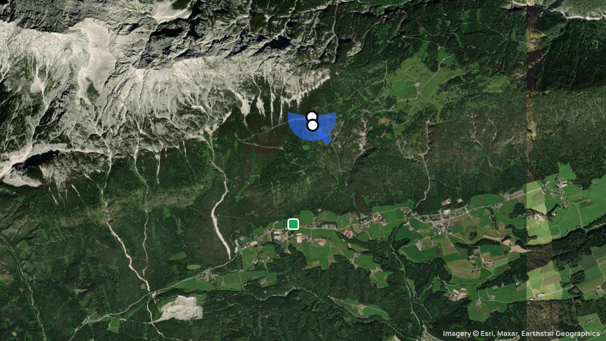
Paragliding site near Gnadenwald, Tirol, Austria, launching at 1,550 m with 671 m of height difference in E, ESE, SE, SSE, S, SSW, SW, WSW, W wind.
Die Start und Landeplätze befinden sich in der CTR Innsbruck! Innerhalb der CTR Innsbruck wurde ein sogenannter Segelflugsektor definiert, welcher von der Austro Control Flugsicherungsstelle Innsbruck jedoch nur temporär freigegeben wird. Es gibt ein Abkommen zwischen der Flugsicherungsstelle Innsbruck und den ortsansässigen Drachen- und Paragleiter Vereinen, unter welchen Voraussetzungen ein Fliegen im freigegebenen Segelflugsektor ausschließlich für Vereinsmitglieder (und mit entsprechender Einweisung) erlaubt ist. Auch dann, wenn der Segelflugsektor innerhalb der CTR nur als Teil eines Streckenfluges genutzt wird (ohne Start oder Landung innerhalb der CTR), ist vorher bei der Flugsicherung in Innsbruck anzufragen, ob der Segelflugsektor freigegeben wurde!
Pilot reviews
No reviews yet. Flown here? Tell other pilots how it went.
Step · Spot
Pick a launch: sites rated for the day, the most flown spots, valley wind, gusts and live stations.
Weather models
DWD ICON-D2 · 0.02° (~2 km)
Model guidance only. Terrain, launch conditions and winds aloft need a separate assessment.
Launches, landings and towing
Site
Hill site for paragliders and hanggliders · 671 m height difference
Paragliders: 1- and 2-seaters
Access: Car · On foot
https://innsbruckergleitschirmfliegerverein.org/ · Cable car: keine
Spots nearby
- Nordkette - SeegrubeInnsbruck, Tirol, Austria · 14 km away
- ZwölferkopfPertisau, Tirol, Austria · 14 km away
- PatscherkofelPatsch, Tirol, Austria · 16 km away
- SpieljochFügen, Tirol, Austria · 17 km away
- Rofan (Gschöllkopf)Maurach, Tirol, Austria · 19 km away
- ChristlumAchenkirch, Tirol, Austria · 20 km away
- All spots around Gnadenwald