Bayern · Paragliding
Paragliding around Lenggries
The 8 paragliding spots within 20 km of Lenggries, Bayern, Germany, ranked by the flights the Open Glider Network saw start there. Brauneck is flown most, with 389 flights in the last twelve months.
8 spots · 689 flights in the last twelve months
- 1
 On the map →
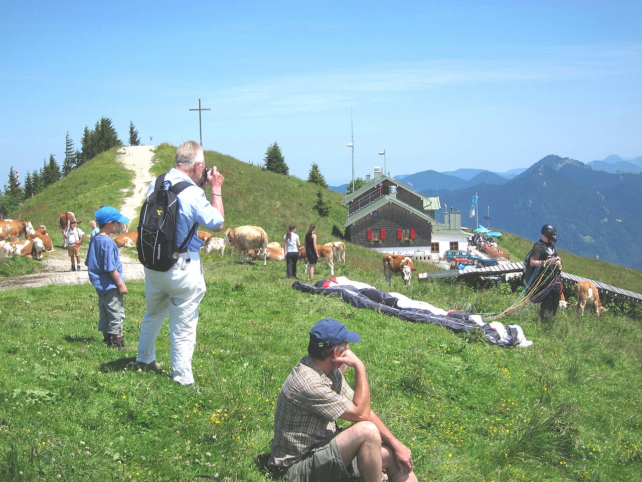
Brauneck
Lenggries, Bayern, GermanyLenggries' cable-car mountain, with four launches for north, south and east winds and a day shaped by when the valley wind arrives.
389 flights / year855 m dropLaunch N, E, SIntermediate - 2On the map →
Wallberg
Rottach-Egern, Bayern, GermanyParagliding site near Rottach-Egern, Bayern, Germany, launching at 1,720 m with 965 m of height difference in N, NNE, SW, WSW, W, WNW, NW, NNW wind.
214 flights / year965 m dropLaunch N, NNE, SW, WSW, W, WNW, NW, NNW - 3On the map →
Blomberg
Wackersberg, Bayern, GermanyParagliding site near Wackersberg, Bayern, Germany, launching at 1,215 m with 515 m of height difference in N, NNE, NE, E, NW, NNW wind.
86 flights / year515 m dropLaunch N, NNE, NE, E, NW, NNW - 4On the map →
Bucherhang
Bad Wiessee, Bayern, GermanyParagliding site near Bad Wiessee, Bayern, Germany, launching at 900 m with 80 m of height difference in NE, ENE, E wind.
0 flights / year80 m dropLaunch NE, ENE, E - 5On the map →
Habach
Habach, Bayern, GermanyParagliding site near Habach, Bayern, Germany, launching at 740 m with 80 m of height difference in NE wind.
0 flights / year80 m dropLaunch NE - 6On the map →
Berghalde
Penzberg, Bayern, GermanyParagliding site near Penzberg, Bayern, Germany, launching at 600 m with 45 m of height difference in NE wind.
0 flights / year45 m dropLaunch NE - 7On the map →
Buchberg
Gmund, Bayern, GermanyParagliding site near Gmund, Bayern, Germany, launching at 750 m in N, NNE, NNW wind.
0 flights / yearLaunch N, NNE, NNW - 8On the map →
Promberg
Penzberg, Bayern, GermanyParagliding site near Penzberg, Bayern, Germany, launching at 640 m in N, NNE, NE, NW, NNW wind.
0 flights / yearLaunch N, NNE, NE, NW, NNW
How we rank
By the paraglider and hang glider flights the Open Glider Network saw take off at each spot in the last twelve months. The ranking follows where pilots actually fly and updates as they do; spots without flights follow, those with a guide first, then by height difference. Launch and landing data comes from the DHV site database.